Welcome!
Dhatri Geotech Private Limited!
Geospatial-Surveying-BIM-CAD Services
About
Dhatri Geotech is Geospatial, Surveying and BIM Services Company,we are dedicated to providing exceptional geospatial, surveying, Building Information Modeling (BIM) and Computer Aided Drafting (CAD) services to meet the diverse needs of our clients. With our extensive expertise and cutting-edge technology, we deliver comprehensive solutions that empower our clients to make informed decisions and achieve their project goals efficiently.
Our Mission
What we do
Our Services
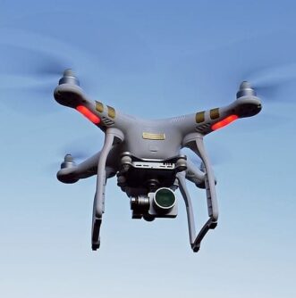
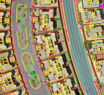
Geospatial Services
Our geospatial services utilize advanced data collection methods, including UAV, aerial and satellite imagery, LiDAR, and GPS, to accurately capture and analyze spatial information. Whether you require mapping, land surveying, remote sensing, or spatial data analysis, our team of skilled professionals ensures precise and reliable results for a wide range of industries.
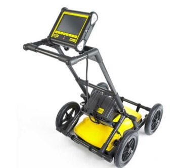
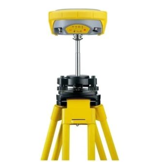
Surveying and Field investigation Solutions
At Dhatri Geotech, we understand the critical role that accurate surveying plays in successful project execution. Our experienced surveyors employ the latest tools and techniques to deliver high-quality surveys, including topographic surveys, cadastral surveys, construction staking, underground utility mapping and soil investigation reports. We prioritize precision and attention to detail, ensuring that your project starts off on the right track.
Building Information Modeling (BIM)
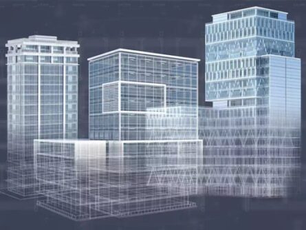
As a leading BIM services provider, we leverage the power of digital technology to enhance collaboration and streamline the design, construction, and operation of buildings and infrastructure projects. Our BIM experts work closely with clients to create detailed 3D models, clash detection, quantity takeoffs, and construction documentation, enabling efficient project coordination and improved decision-making throughout the lifecycle.
CAD Services
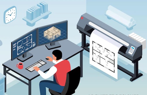
Our CAD specialists are proficient in transforming your ideas into detailed and precise CAD drawings. Whether it's architectural, structural, or land development Infrastructure, we provide comprehensive CAD drafting and modeling services.
Why Choose Us:
Our Speciality
Expertise:
Our team consists of highly skilled professionals with extensive experience in the geospatial, surveying, BIM, and CAD domains. We stay updated with the latest industry trends to deliver cutting-edge solutions.
Quality and Accuracy:
We prioritize quality and accuracy in all our services. Our commitment to delivering precise results ensures that you can rely on our data for critical decision-making processes.
Customized Solutions:
We understand that each project has unique requirements. Our team works closely with you to understand your objectives and tailor our services to meet your specific needs, ensuring optimal results.
Timely Delivery:
We value your time and strive to deliver projects within agreed-upon timelines. Our efficient project management ensures timely completion without compromising on quality.
Whether you need accurate geospatial data, reliable surveying and geotechnical investigations, or cutting-edge BIM and CAD solutions, we are here to provide the expertise and support you need to succeed.
Approach Us!
Contact us today to discuss your project requirements and let us help you unlock the full potential of your ventures.
Address
Gayathree Fortune, Plat No.5, 6, D.No.7-2-1813/5/A/5, Road No.1, Czech Colony, Sanath Nagar, Hyderabad - 500018, Telangana, India
Phone
040-35696847
info@dhatrigeotech.com
