Geospatial Services


Photogrammetric Mapping
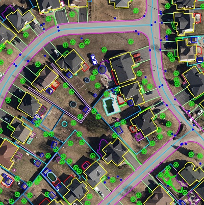
At Dhatri Geotech Private Limited, we offer cutting-edge photogrammetry mapping services using UAV, Aerial and High resolution Satellite Imagery that provide accurate and detailed geospatial data for a wide range of applications for various industries.

LiDAR Mapping
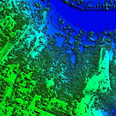
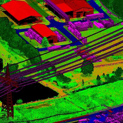
At Dhatri Geotech Private Limited, we offer cutting-edge Lidar mapping services that provide accurate and detailed 3D information for a wide range of applications. Lidar (Light Detection and Ranging) technology enables us to capture high-resolution data of the Earth’s surface.

Orthophoto Generation
Orthophoto generation involves the process of converting UAV or aerial or satellite imagery into geometrically corrected images that have a uniform scale throughout. By removing distortions caused by the Earth’s curvature.

GIS Services
At Dhatri Geotech Private Limited, we offer comprehensive Geographic Information System (GIS) services tailored to meet the diverse needs of our clients. Our team of experienced geospatial experts combines advanced technology with industry best practices to provide accurate and reliable solutions.
